NYC
Subway Map Interactive
Adobe Illustrator
d3.js, JavaScript, jQuery, AJAX
JSON, GeoJSON, TopoJSON, Shapefiles
My Role in This Project
Position:
Research, Design & Development
Design:
Data Visualization, Mapping
Data:
Processing and Cleaning: GeoJSON --> TopoJSON, Shapefiles
Engineering:
Front-end: D3.js, JavaScript, jQuery, HTML5, CSS
The original prototype of the New York Subway map was developed as part of a class at Parsons The New School for Design named Applied Research: Redesigning the NYC Subway Map. It was led by information designer Julia Wargaski and historian and type designer Paul Shaw.
Towards version 2...
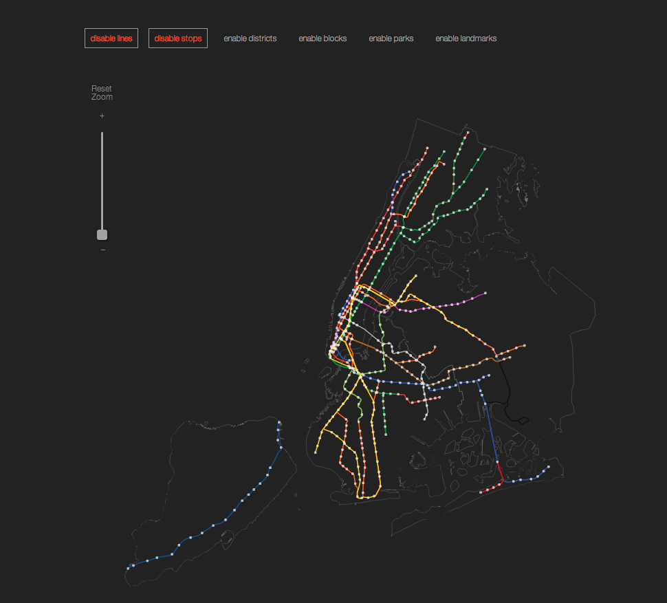
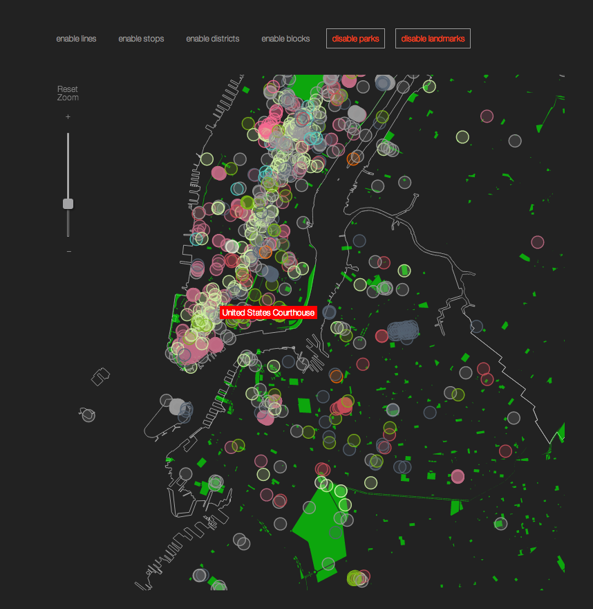
The most interesting problem that the subway map poses is that of geography vs the system. There has been an ongoing debate driven by NYC’s unique geography – multiple stops are condensed in downtown Manhattan where the island becomes particularly narrow. The most common solution has been to either distort or remove the geography to compensate for that.
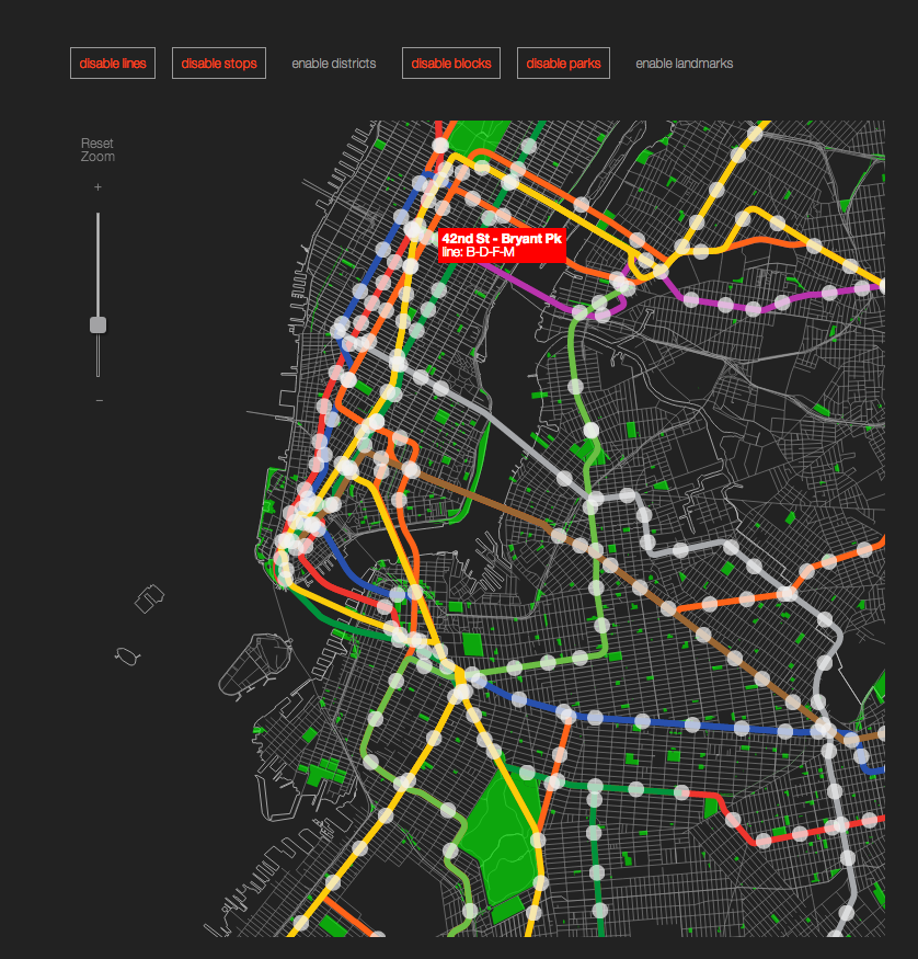
This makes for a particularly interesting design problem. Since I started working on the map in 2011 I became convinced that removing or distorting the geography, just because it is inconvenient, is not an optimal solution. My initial thinking revolved around way finding and landmark based navigation as it bears the potential of solving for both above ground and under ground navigation. To test and further develop that idea I started working on an interactive tool which allows me to study both the components of the system and the city. This is a very crude work in progress visualization.
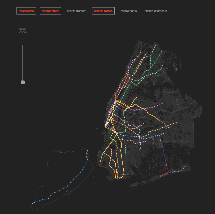
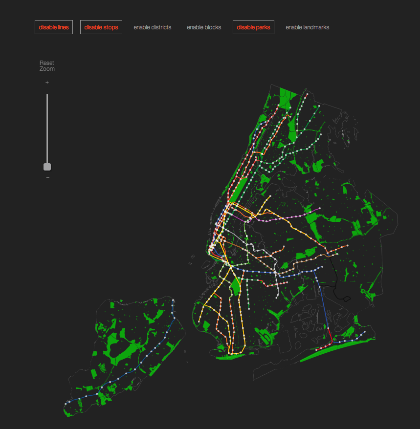
Please be mindful that the data layers are rather large and they may take a moment to load when toggling among the different views. Hover over the elements for additional information. Zoom in the map to explore the details. The landmarks layer is color coded by type of landmark, however the key is not exposed as the system is still in progress.
Current status: Ongoing
 Loading Data...
CUNY Mapping Service at
the Center for Urban Research Streets:
Public Domain NYC shape Geojson:
Code for America Landmarks:
The New York City
Landmarks Preservation Commission Parks and districts:
NYC open data